
Why Every Construction Project Needs a Topographic Surveyor in Dubai

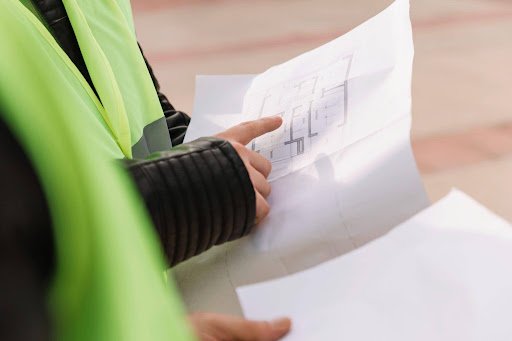
Before a single foundation is poured or a design drawing is finalised, one step quietly determines whether a project starts on solid ground, both literally and figuratively. Bringing in a qualified topographic surveyor in Dubai early in the planning process ensures that architects, engineers, and developers are working from accurate, real-world data rather than assumptions about elevation, land contours, or existing site features.
What Topographic Surveying Actually Involves
At its core, topographic surveying maps the physical characteristics of a piece of land — elevation changes, natural features like slopes or vegetation, and existing man-made structures such as roads, drainage lines, and utility access points. This data is then translated into detailed maps and models that planning and design teams rely on to understand exactly what they’re working with before committing to a layout.
Skipping this step, or relying on outdated or incomplete data, creates risk that compounds throughout a project. A design based on inaccurate elevation data might not account properly for drainage, leading to water pooling issues after construction. Missing utility lines can result in costly excavation accidents or unexpected rerouting mid-project. In a fast-paced development environment, these kinds of errors don’t just cost money — they cost time, and time delays ripple through every other stage of a build.
Why Accuracy at the Start Prevents Costly Problems Later
Construction projects are sequential by nature — each phase builds on the assumptions established in the one before it. If the initial survey data is even slightly off, that inaccuracy doesn’t stay contained to the surveying stage. It gets baked into architectural drawings, structural calculations, and eventually the physical build itself, where correcting a mistake becomes exponentially more expensive than catching it at the outset.
This is particularly relevant in a market as active and fast-moving as Dubai, where land parcels often sit close to existing infrastructure, underground utilities, or neighbouring developments. Precise topographic data helps design teams account for these constraints from day one, rather than discovering conflicts once construction is already underway.
Advanced Surveying Techniques Reshaping the Industry
The tools used for topographic surveying have evolved considerably from the manual chain-and-compass methods of decades past. Modern advanced surveying techniques now rely heavily on total stations, GPS-based positioning, and increasingly, 3D laser scanning and drone-based aerial mapping to capture site data with far greater speed and precision than traditional methods allowed.
3D laser scanning, in particular, has changed how quickly and thoroughly a site can be documented. Rather than manually recording individual points, a scanner captures millions of data points across a site in a fraction of the time, producing a highly detailed point cloud that can be used for everything from initial planning to ongoing progress verification during construction. GIS mapping adds another layer, allowing survey data to be layered with other geographic information for broader infrastructure and urban planning purposes.
These tools don’t just speed up the process — they reduce the margin for human error significantly, which matters enormously on projects where even small inaccuracies in elevation or boundary data can create expensive downstream problems.
Regulatory Compliance Matters Just as Much as Accuracy
Beyond technical precision, working with a surveyor familiar with local regulatory requirements is essential. Municipal approval processes, boundary regulations, and documentation standards vary by jurisdiction, and a survey company with established relationships and experience navigating these requirements can help a project avoid delays that stem purely from administrative missteps rather than technical ones.
Choosing the Right Surveying Partner
Not all survey providers offer the same depth of service. Some specialise narrowly in boundary demarcation, while others offer a broader suite covering topographic mapping, underground utility detection, 3D scanning, and as-built verification. For larger or more complex projects, working with a single provider capable of handling multiple survey types tends to produce more consistent data and smoother coordination than piecing together services from several separate vendors.
It’s worth asking prospective surveyors about the specific equipment they use, their experience with similar project types, and how quickly they can turn around detailed reports once fieldwork is complete. Response time matters particularly on projects with tight construction schedules, where delays in receiving survey data can hold up subsequent design or approval stages.
Final Thoughts
Getting land data right from the very first stage of a project sets the tone for everything that follows — design accuracy, regulatory approval, and ultimately, how smoothly construction proceeds. Lyca Survey brings together experienced professional surveyors and modern equipment, including 3D laser scanning, GIS mapping, and underground utility detection, to deliver precise, regulation-compliant survey data across Dubai. With Dubai Municipality approvals in place and a track record spanning land, topographic, and specialised surveys, Lyca Survey gives project teams the accurate foundation they need from day one.